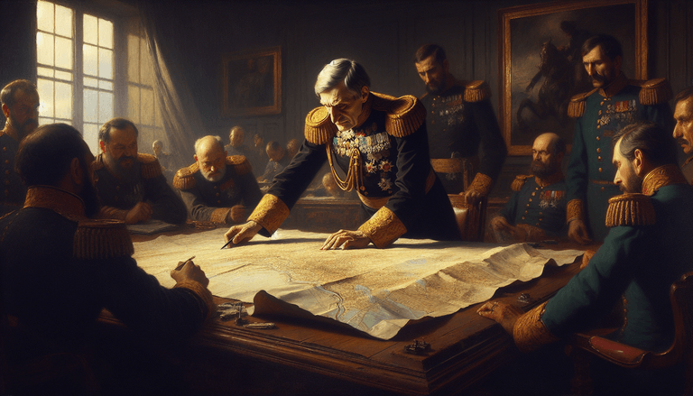
Picture this: it's the early 19th century, and the stalwart, stout little figure of Napoleon Bonaparte stands peering intently at a screen. But instead of a map or a battlefield, it's his smartphone displaying Google Maps (or should that be Gaggle Maps?). As far-fetched as this sounds, let’s give fate a whimsical twist and ask: what if Napoleon had access to Google Maps during his conquests? Would he have avoided taking that infamous left turn at Waterloo?
The Strategy Shall Be Recalculated
Napoleon, known for his strategic prowess, might have easily come to rely on Google Maps for more than just finding the fastest route to the nearest boulangerie. Imagine him plotting troop movements with a few taps and swipes. With a satellite view, he could see not just the lay of the land but also real-time updates of enemy positions via GPS location sharing.
Of course, Google Maps isn't just about directions. With the traffic alerts feature, Napoleon could get notifications about any blockades or unexpected weather patterns. "Attention, driver! There's a detour ahead due to a Prussian ambush. Would you like to recalculate your route?" Oui, please!
Overcome the 'Water-hmm' Debacle
Ah, the proverbial thorn in Napoleon's side: Waterloo! Perhaps if our compact conqueror had used Google Maps, we’d be singing a different tune. The app would offer different routes, avoiding the Duke of Wellington's trap entirely. "Continue straight for 5 miles, then make a right at the brown horse," it might suggest, sparing Napoleon the ill-fated retreat.
Moreover, Google Maps could function as a diplomatic tool in hand: seeing the traffic of troop movements might have spared Napoleon a fight or two, allowing him to negotiate rather than engage, thus keeping Europe blissfully border-bicker-free for a little while longer.
OuiFi: The Magic Key
There's one caveat, of course. None of Napoleon’s techno-sorcery would be possible without a strong WiFi connection, or as Bonaparte might have called it, "OuiFi." But let’s assume he had access to France’s finest fibre broadband via a string of mobile hotspots carried by pigeons (an upgrade from plain, old carrier pigeons). With OuiFi in his possession, Napoleon would be able to Google other essentials, such as, "What to do if you forgot your cannon,” or "Find me the best launderer near Leipzig."
Conquering with Coordinates
Even more fascinating, Google Maps’ street view could provide the Corsican tactician with keen insights of his enemies’ backyards. Should the Russians try to duplicate their devastating scorched earth tactic, a quick "scorch-o-meter" search might spare Napoleon the sight of burnt borscht and lead him straight to safer grounds.
And what about the everyday logistics? By using Maps’ integrated capabilities with Google Translate, Napoleon could order, "Espresso Double Shot" at any roadside stand from Tolono to Torino, ensuring his troops stayed caffeinated for the duration of their imperial stints. Navigating from one campaign to another would have been, dare I say it, a "Grande Adventure."
A Revolutionary Cartographic Coup
Gaggle Maps wouldn’t just enhance military strategy, but could reshape French society. Napoleon was, after all, a bit of a moderniser. By promoting Google Maps in his empires, he’d reduce confusion on the thoroughfares of Paris, perhaps even eliminating the need to construct additional Arc de Triomphes as directional beacons.
If Gaggle Maps had sparked a cartographic coup in Napoleonic France, who knows? The history of GPS might have a fresher spin, as accurate as a perfect soufflé.
But alas, Google Maps only plays in this whimsical "What If" scenario. Napoleon's tech remedies, however fascinating, were limited to human intuition and veritable tomes of tactical strategy. Yet, the looming question remains, if Napoleon, armed with Google Maps, had taken the road less travelled, might he have reached unparalleled heights, ushering in an era where glory came with WiFi, and routes to conquest were effortlessly recalculated?
